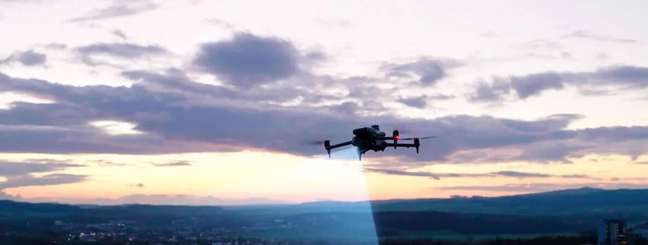
DJI Matrice 4 Series
The age of intelligent flight.
The compact enterprise workhorse, in two builds. The 4E is the surveying and mapping one. The 4T swaps in a thermal camera and a laser rangefinder for power lines, emergency response and night work. Both fold into a backpack.
Two builds, one airframe
Matrice 4E
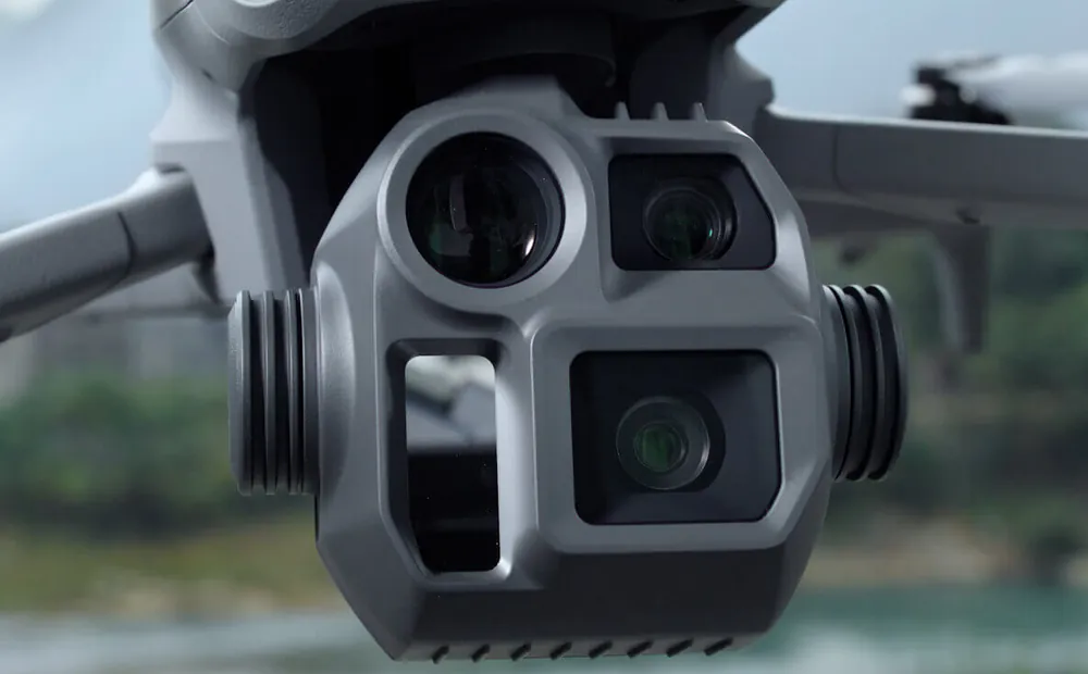
- 20MP 4/3 CMOS wide-angle camera, shoots RAW
- 48MP medium telephoto and 48MP telephoto
- Laser rangefinder
- Built for surveying, mapping, construction and mining
Matrice 4T
- Three 48MP cameras: wide, medium telephoto and telephoto
- 640 x 512 thermal imaging camera
- Near-infrared auxiliary light for night work
- Laser rangefinder
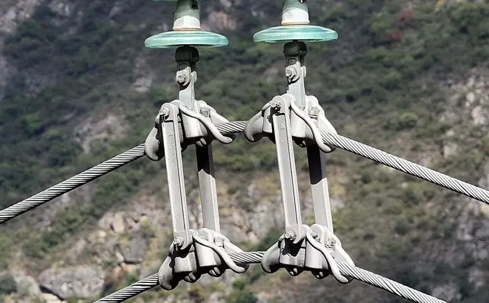
- Built for electricity, emergency response, public safety and forestry
Shared
- Up to 49 minutes on standard propellers
- 1219 g take-off weight
- Smart detection and measurement
- Operates from -10C to 40C
Flying it safely
Obstacle sensing
- Omnidirectional binocular vision plus infrared
- Forward sensing measured from 0.4 m out to 200 m
- Coverage in all directions at speeds up to 21 m/s
Positioning
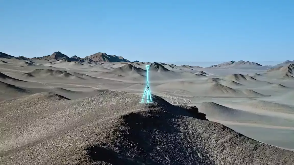
- RTK gives 1 cm horizontal and 1.5 cm vertical accuracy
- Survey-grade output without ground control points
Signal
- O4 Enterprise transmission
- Up to 25 km range unobstructed and free of interference
▣ Gallery
A closer look
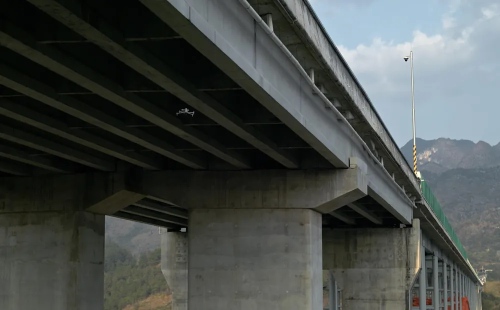
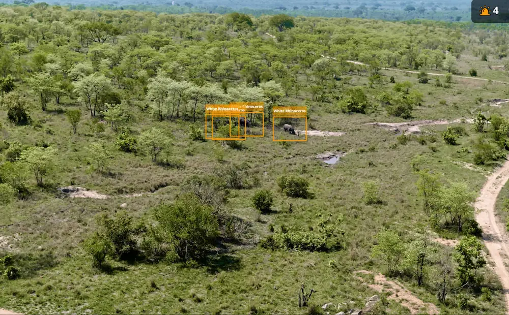
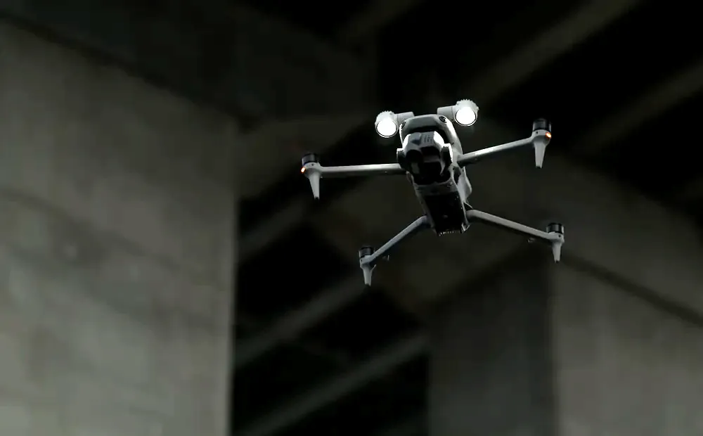
▶ Official DJI video
See it working
Get a quote
Every quote goes through WhatsApp so you get a straight answer from a person, not a form auto-reply.
★ The Precision AG difference
Don't just compare the price. Compare the complete value.
→ Common questions
Questions we get asked
What is the difference between the DJI Matrice 4E and 4T?
The 4E is the survey and mapping build. The 4T adds a thermal camera, which is what you want for night security work, livestock and game at night, search and rescue, and finding hot spots on equipment and infrastructure.
Is the Matrice 4T the replacement for the Mavic 3T?
It is the current generation in that class. If you were looking at a Mavic 3T for thermal inspection or security work, the Matrice 4T is the machine to compare it against: 49 minutes of flight time, 48 MP telephoto and 1 cm RTK accuracy.
Do I need a licence to fly a Matrice 4 in South Africa?
For commercial work, yes. The SACAA requires a Remote Pilot Licence (RPL) for the pilot and an RPAS Operator Certificate (ROC) for the operation. We help clients get both in place.
What does the DJI Matrice 4 Series cost in South Africa?
We quote per build, since the 4E and 4T differ and payload and battery choices change the figure. Message us on WhatsApp for a current quote.