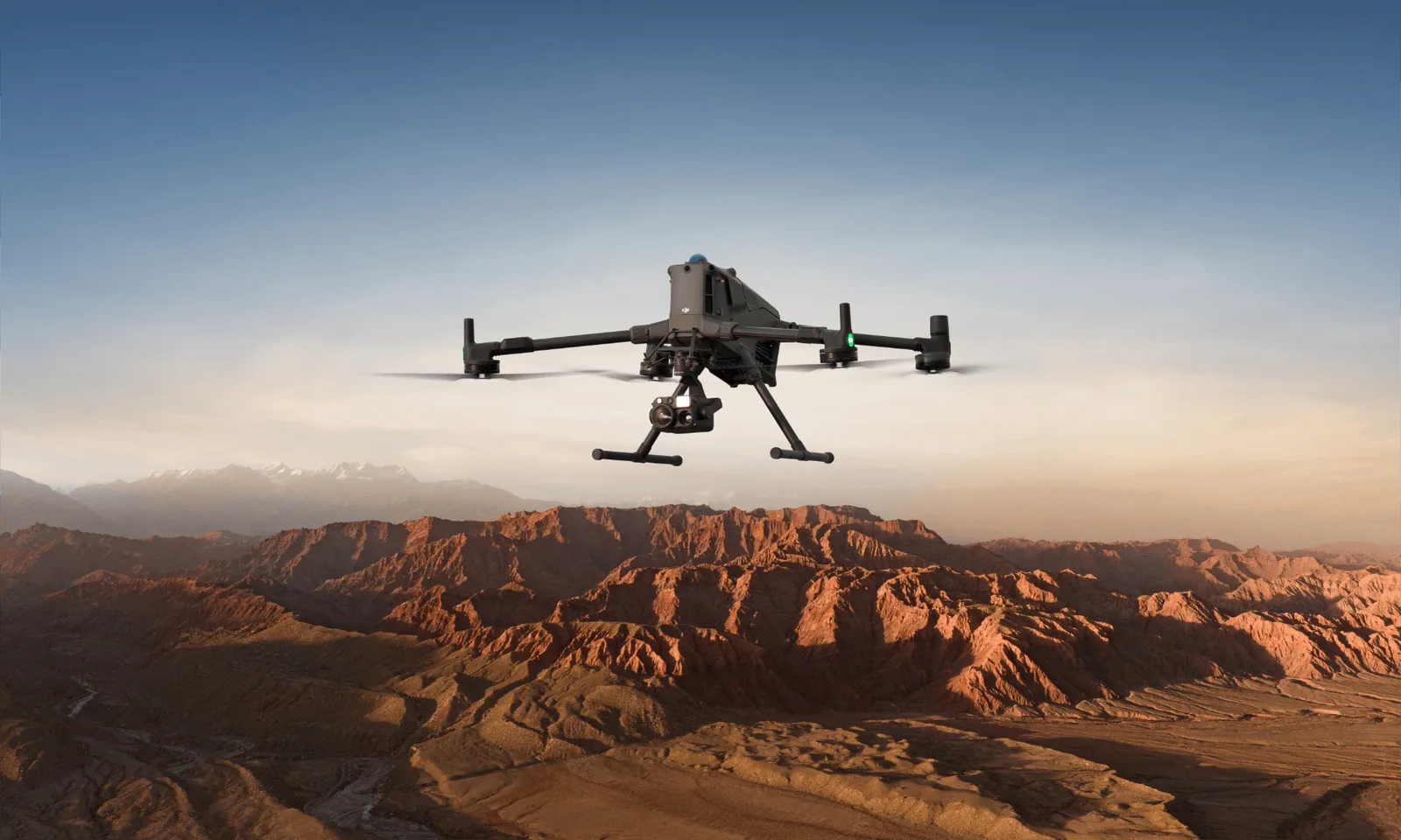
DJI Matrice 400 RTK
Engineered for excellence.
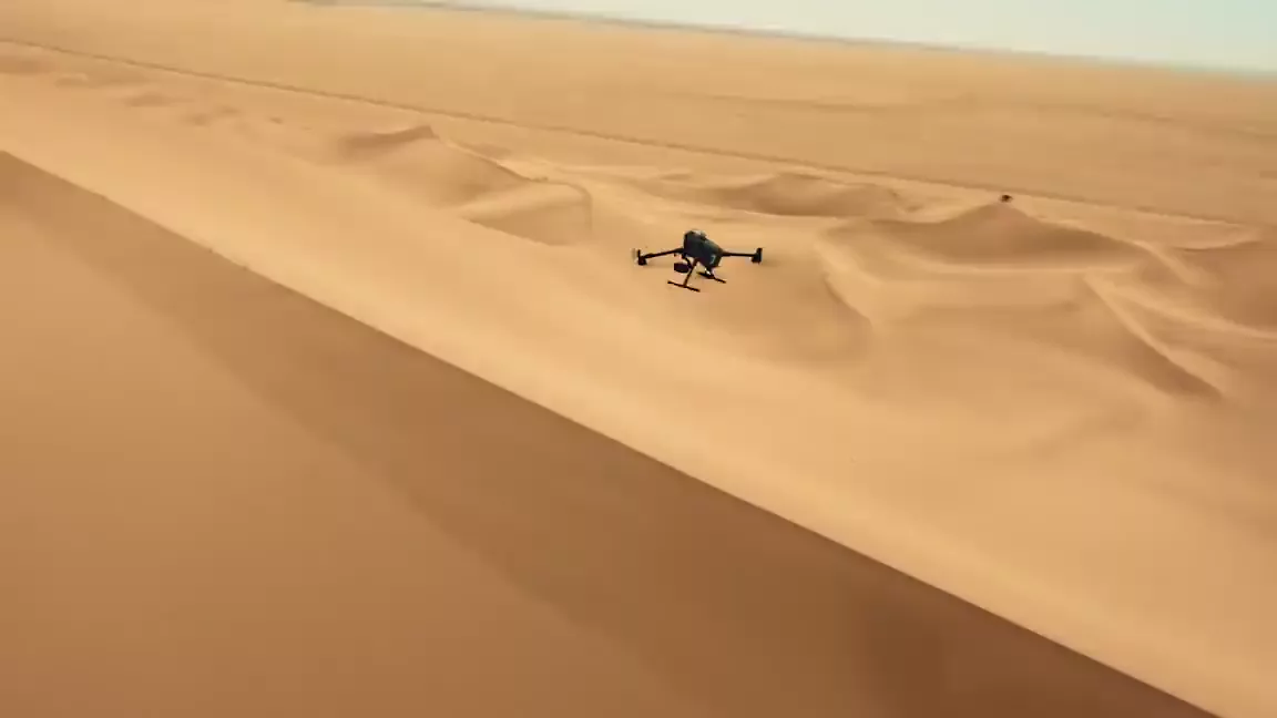
This one is not an Agras. The Matrice 400 RTK is the enterprise platform: nearly an hour in the air, survey-grade positioning and up to seven payloads at once. On a farm it maps, counts game, patrols fence lines at night and inspects infrastructure.
What it does
Endurance and payload
- Up to 59 minutes flight time
- 6 kg maximum payload
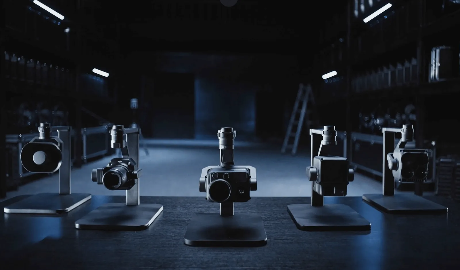
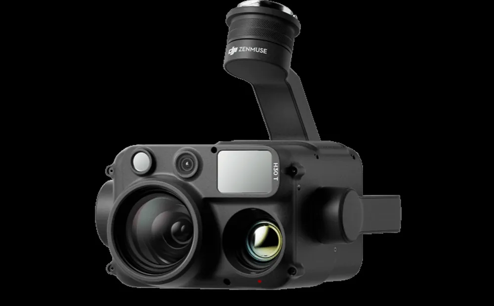
- Up to seven payloads mounted at once
- Four E-Port V2 connections plus single, dual and third-gimbal mounts
Sensing
- Rotating LiDAR with a 360 degree horizontal field of view
- Six-direction millimetre-wave radar
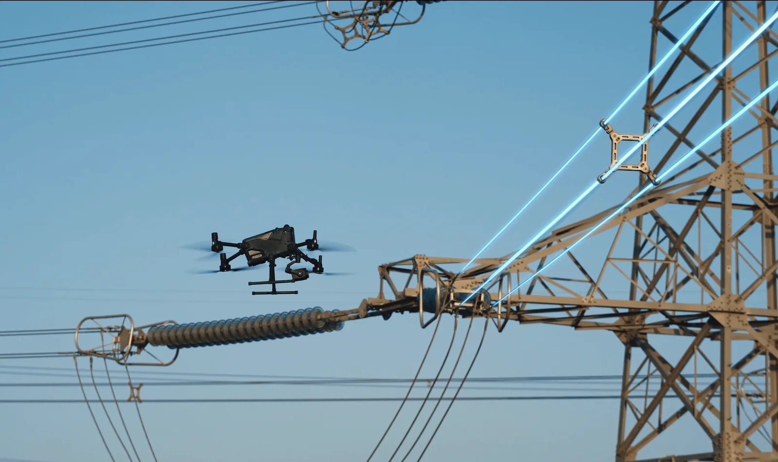
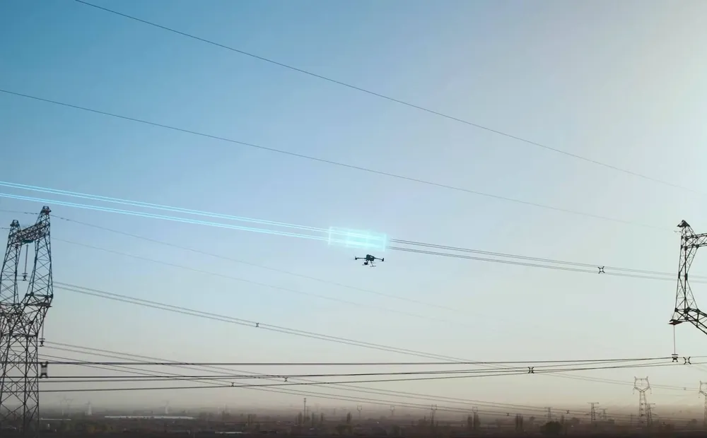
- Detects power lines through rain, fog and snow
Positioning and signal
- RTK gives 1 cm horizontal and 1.5 cm vertical accuracy
- Survey-grade data without ground control points
- O4 Enterprise Enhanced transmission
- Built-in airborne relay extends range through obstructed terrain
On a South African farm
Mapping and counting
- Farm mapping and elevation models
- Game counting across large camps
Security
- Night-time anti-poaching patrols
- Fence line and perimeter patrols
Inspection
- Solar installation inspection
- Powerline inspection
- Built IP55 and rated from -20C to 50C
▣ Gallery
A closer look
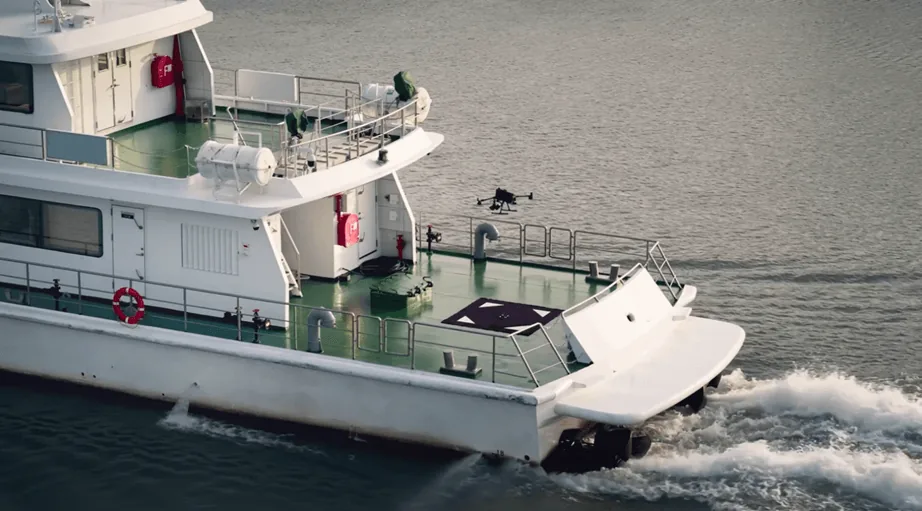
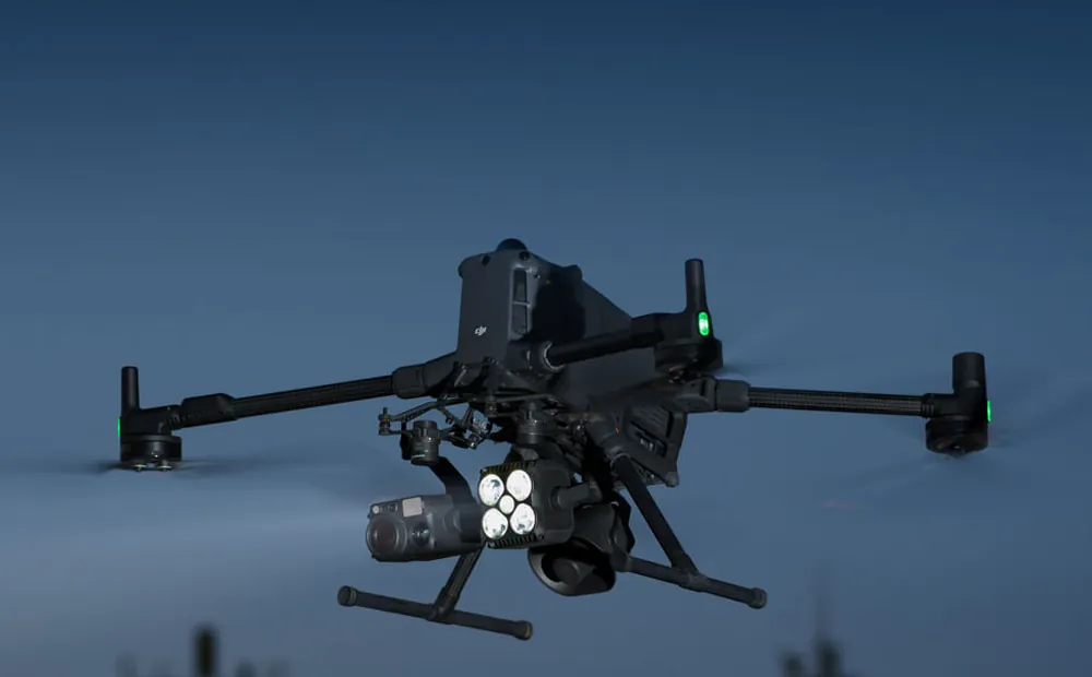
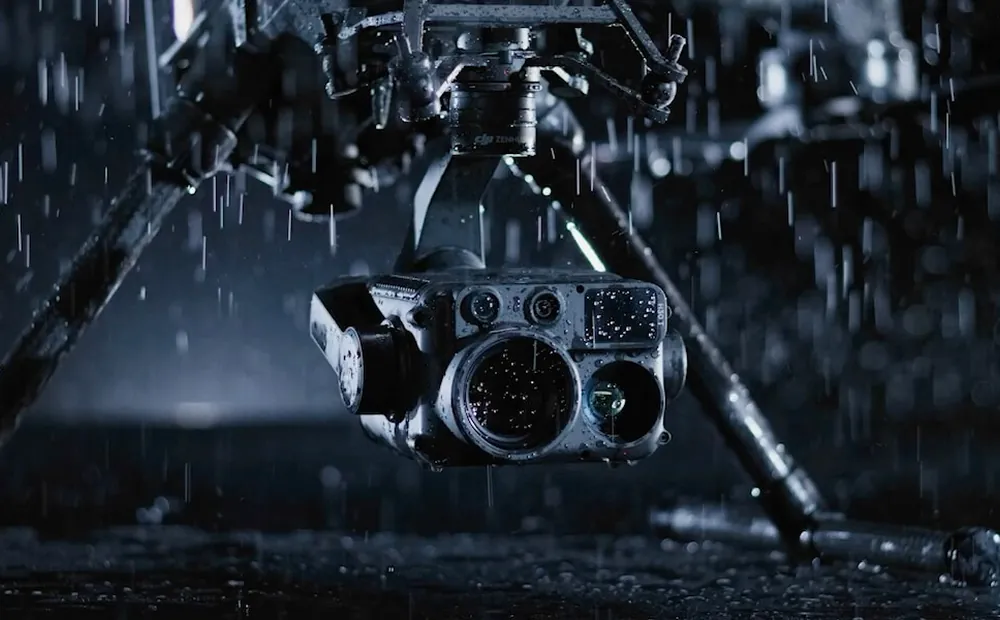
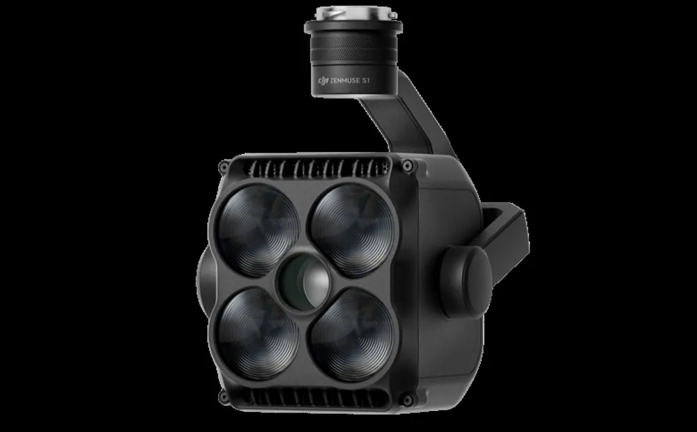
▶ Official DJI video
See it working
Get a quote
Every quote goes through WhatsApp so you get a straight answer from a person, not a form auto-reply.
★ The Precision AG difference
Don't just compare the price. Compare the complete value.
→ Common questions
Questions we get asked
What is the DJI Matrice 400 RTK used for?
Mapping, infrastructure inspection, surveying and security work. It flies for up to 59 minutes, carries up to 6 kg and can run seven payloads at once with 1 cm RTK accuracy and an IP55 weather rating.
How long can the Matrice 400 stay in the air?
Up to 59 minutes on a charge, which is what makes it practical for long powerline, pipeline and perimeter runs where a smaller aircraft would need several battery swaps.
Do I need a licence to fly a Matrice 400 RTK in South Africa?
For commercial operations, yes: a Remote Pilot Licence (RPL) for the pilot and an RPAS Operator Certificate (ROC) for the operating business, both through the SACAA. We guide clients through it.
What does the DJI Matrice 400 RTK cost in South Africa?
It depends on the payload configuration you need, so we quote per job. WhatsApp us with what you are inspecting or surveying and we will put a package together.