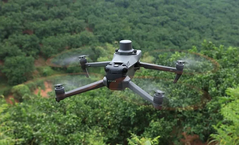
DJI Mavic 3M
See what the eye cannot.
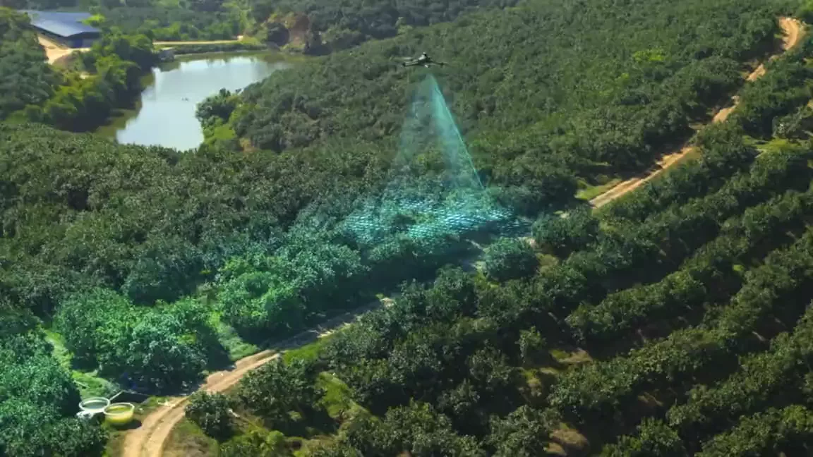
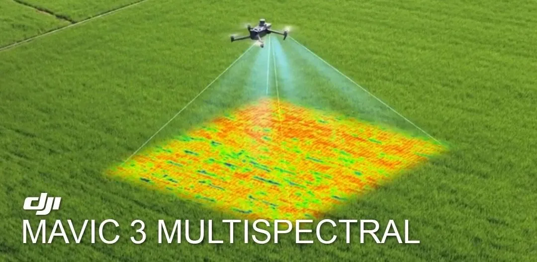
The small one that does the clever work. A 20MP RGB camera plus a four-band multispectral sensor, so you get plant health maps, plant counts and prescription maps off a single flight. This is the machine behind the crop analytics and the sample reports on this site.
What it sees
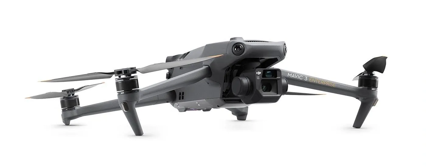
Two cameras in one
- 20MP 4/3 CMOS RGB camera for mapping and inspection
- 5MP multispectral camera, 1/2.8-inch CMOS
- Four bands: green 560nm, red 650nm, red edge 730nm, near infrared 860nm
Light that can be trusted
- Built-in sunlight sensor logs light conditions during the flight
- Readings are corrected against it, so maps flown on different days compare properly
Survey-grade position
- RTK gives 1 cm horizontal and 1.5 cm vertical accuracy
- No ground control points needed
What it does on the farm
Crop health
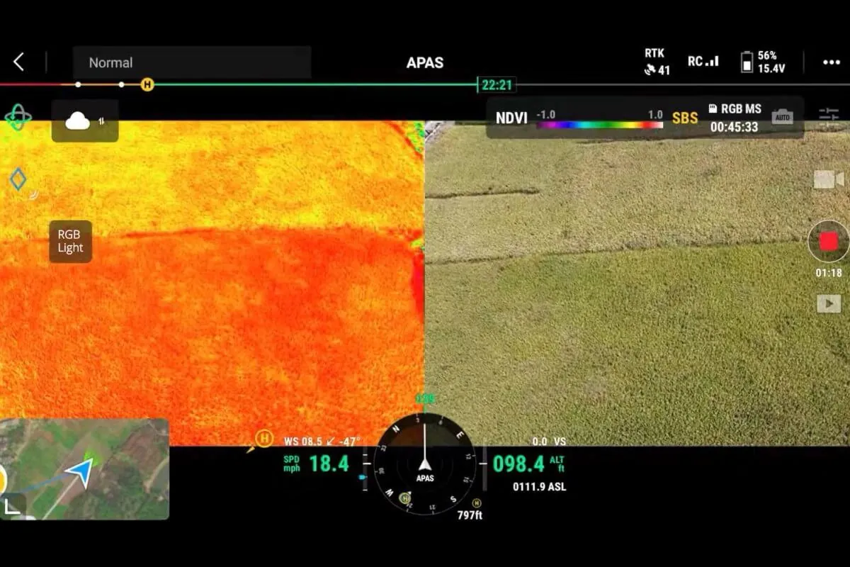
- NDVI and vegetation index maps
- Finds nutrient stress before it shows to the eye
- Season-long scouting from the office
Counting and sizing
- Plant counts per block
- Crop counting and sizing
- Yield estimation
Feeding the sprayer
- Weed detection with infestation maps
- Prescription maps for spot spraying
- Pairs with the Agras range so only problem areas get treated
▣ Gallery
A closer look
▶ Official DJI video
See it working
Get a quote
Every quote goes through WhatsApp so you get a straight answer from a person, not a form auto-reply.
★ The Precision AG difference
Don't just compare the price. Compare the complete value.
→ Common questions
Questions we get asked
What is the DJI Mavic 3M used for?
Crop analytics and survey work. It pairs a 20 MP RGB camera with a four-band multispectral sensor, so it produces NDVI and vegetation index maps, plant counts and survey-grade orthomosaics with 1 cm RTK accuracy.
Can the Mavic 3M spray?
No. The Mavic 3M is the eyes, not the sprayer. It maps and scouts the land, and those maps then drive a prescription for an Agras T55, T70P or T100 to spray only where it is needed.
Do I need a licence to fly a Mavic 3M in South Africa?
For commercial mapping work, yes. SACAA regulations require a Remote Pilot Licence (RPL) for the pilot and an RPAS Operator Certificate (ROC) for the operation. We help with the licensing process.
Can you process the data for me?
Yes. If you would rather fly and hand over the raw data, our data processing service turns your flights into crop health, plant count and yield reports.